Jeev
Directory-first, geo-spatial coordination for animal rescue — connecting incident reporters with nearby field volunteers, ambulances, shelters, and feeders in real time.
Status
Live in Production
The experience
See it in action
A closer look at Jeev, straight from the app.
Under the hood
What makes it work
The engineering decisions behind Jeev — the parts that turn a good idea into something people rely on every day.
Live Rescue Map
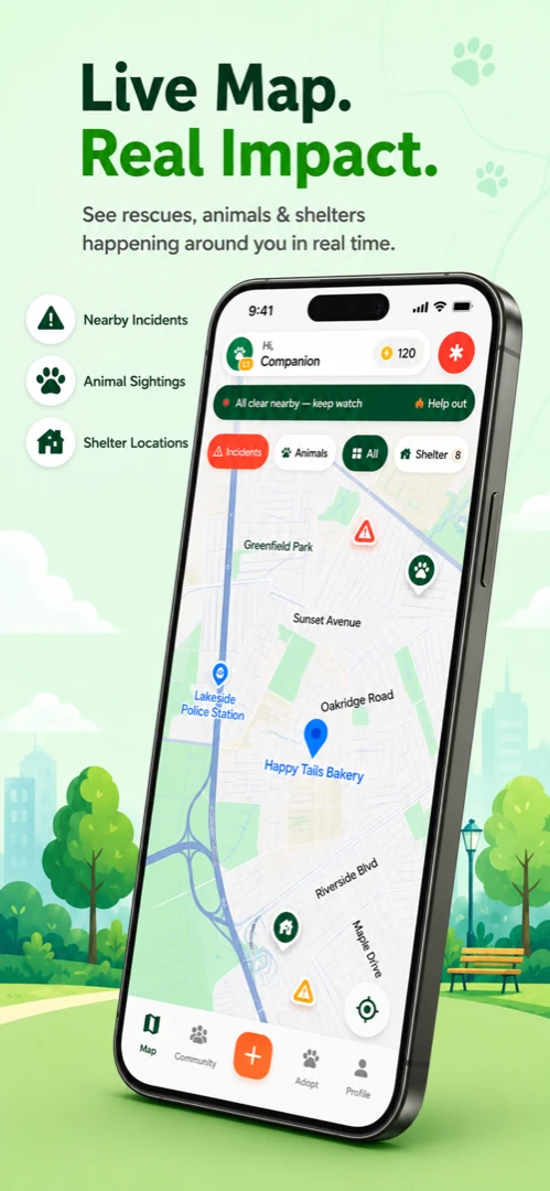
See nearby incidents, animal sightings, and shelters in real time with geohash-based proximity search.
Verified Places
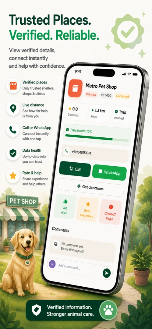
Trusted shelters, clinics, and pet shops with live data-health scores and one-tap call or WhatsApp.
Guided First Aid
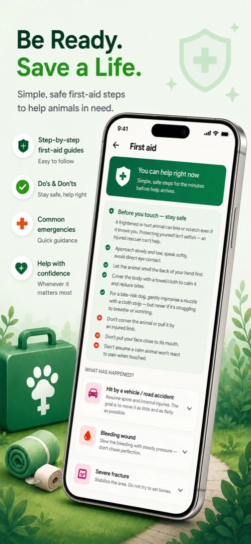
Step-by-step do's and don'ts for common emergencies — help with confidence in the minutes before help arrives.
User-Driven Dispatch
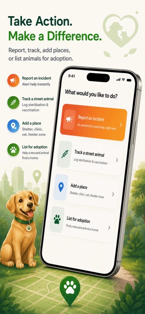
Reporters, field volunteers, ambulances, and feeders connect directly — no dispatcher bottleneck.
Build something like this
We built Jeev.
We can build yours.
Design, engineering, and release — handled end to end by the same team that shipped this one. Tell us what you have in mind and we'll come back with a concrete plan.